Who We Are
Highly qualified and motivated professionals

1.2k
Incident free hours flown
452+
Completed Projects
2.7k
Maintenance hours saved
What we do?
Concept
We always put our focus on our customers. We want you to find the product or service that perfectly suits your needs, which is why we offer comprehensive consulting services to help you make an informed decision.
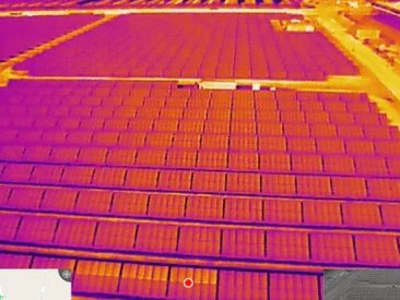
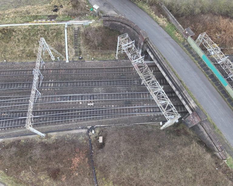
Solar Array inspection
The DJI M300 RTK and DJI Zenmuse H20T helped transform solar farm inspections, which were slow and laborious, into a fast and efficient process. This results in issues and faults being diagnosed and addressed quicker and more effectively, which in turn ensures that the solar farm can perform at max capacity.
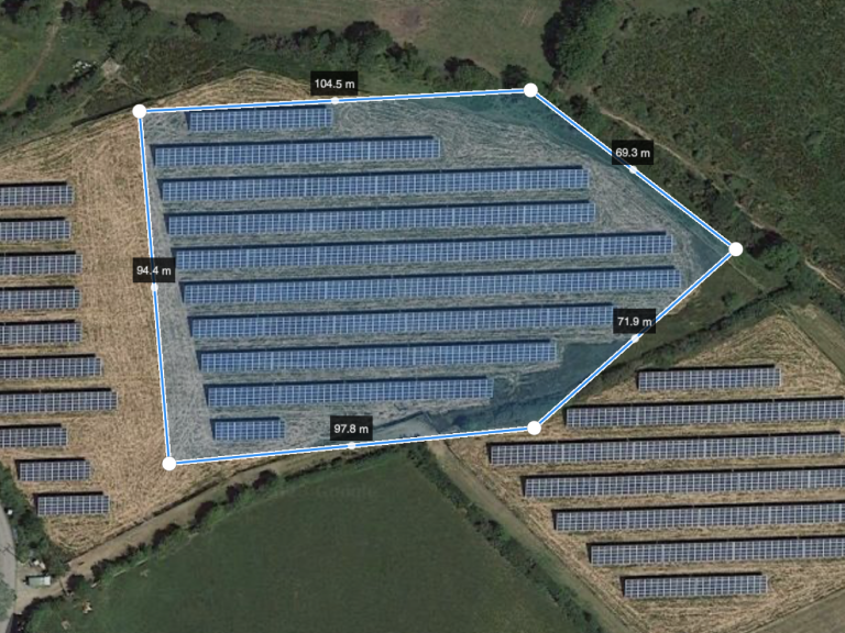
Mapping
Drone mapping is an aerial survey conducted by a drone and specialist cameras, which can include RGB (for photogrammetry), multispectral, thermal or LiDAR sensors. This method enables the collection of highly-accurate data, extremely quickly.
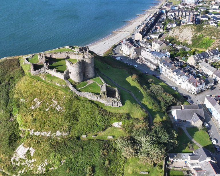
Images And Video
Drone Images and up to 6k video for web sites and marketing.We also work for film and media companies .
We need your consent to load the translations
We use a third-party service to translate the website content that may collect data about your activity. Please review the details in the privacy policy and accept the service to view the translations.